Section 10: Walt Hill & Troubridge
Golden Stanley Hut
Kilometre 145
Sleeps 8
5 Facilities
About This Hut
Golden Stanley Hut is perched on the side of a steep hill, offering peek-through views of forested mountains. Built between winter 2015 and spring 2016, this semi-enclosed shelter features a large covered porch that provides excellent protection during rainy weather. While the cleared area is not expansive, it has a cozy, intimate vibe. The hut is located roughly halfway between Walt Hill and Mount Troubridge, making it a convenient overnight stop.
Key Features
- •Steep hillside location with forest mountain views
- •Large covered porch ideal for rainy weather
- •Cozy intimate atmosphere
- •Halfway between Walt Hill and Mount Troubridge
- •Built 2015-2016
- •Note: Water source may be dry in late summer
How to Get There
- 1From Walt Hill Hut, continue south on the SCT
- 2Hike approximately 23 km through varied terrain
- 3Navigate elevation changes and forested sections
- 4Climb to Golden Stanley location on steep hillside
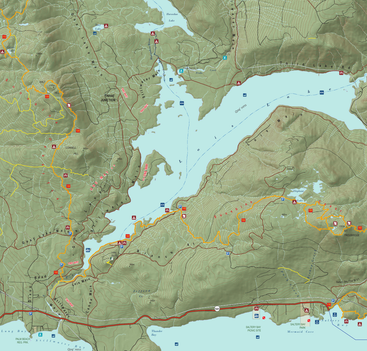
- 5Hut is located at the 145 km mark
- 6Water stream is 100m uphill from hut
Trail Map
Click the map image below to download the complete section map PDF with detailed trail routes, elevation profiles, and landmarks.
Download Full Map
Quick Info
Location
Kilometre 145
Capacity
8 people
Trail Section
Section 10
Walt Hill & Troubridge
Facilities
- Outhouse
- Picnic table
- Food cache
- Fire pit
- Large covered porch
Water Source
Stream 100m uphill from hut (may be dry in late summer - collect at Lois Lake if needed)